Astrometry24NET
Accurate solution to maintain space traffic, identify Near-Earth Objects, and minimize the risk of collisions.
Robust astrometry is crucial in Space Surveillance and Tracking (SST)
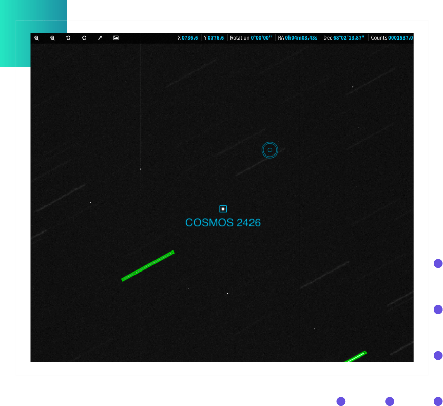
It involves the use of statistical methods and algorithms that are resistant to outliers and errors. So, it simply maintains our daily life intact. The software platform we created helps detect frames containing point sources and multiple photometrical and astrometrical streaks. So, it enables SpaceOps to maintain space traffic and reduce the risk of any possible collision. How else to describe our system? Accurate and incredibly fast, as it has the ability to solve hundreds of frames within seconds after upload, either via Web or Command Line Interface.


SSO & GNSS
Providing an automatic object correlation with Solar System Objects (SSO) or GNSS satellites and sensor calibration using precise orbital ephemeris, which helps identify and track the unknown, possibly hazardous objects, is a crucial step in collision avoidance, which cannot be done without proper sensor calibration.
Built-in satellite catalog and more
Integrating Spacetrack catalog in our planning module, which we constantly update to include the latest launches and orbital data, for you to explore the Universe safely. We also support many sky catalogs listed down below.
Native formats support
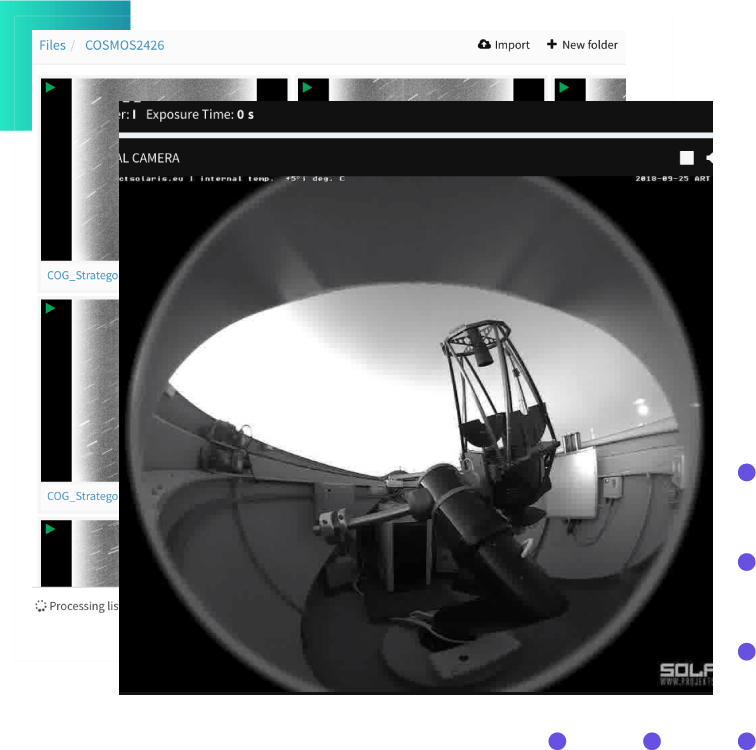
Supporting various native astronomical data formats via AstroDrive – our data storage and management tool – such as FITS, TDM, and CRD. Those message formats are widely used to exchange tracking data and contain information about an object’s orbit to confirm a projected space object collision.
Multiple satellite and stellar catalogs
Mapping space objects’ position is an integral part of the astrometry. A constantly growing amount of satellite-related and stellar data needs to be organized – and now they are, in catalogs that consist of all crucial information, for example, an object’s position, movement, or magnitude. Access to those databases is a vital part of our space safety approach.
To support this point of view, we solve FITS frames by providing sky data using Hipparcos (the positions of more than +100k stars with high precision and +1m stars with lesser precision), UCAC4 (all-star sky map), or GAIA (nearby stars map). Also, our tools are integrated with Spacetrack and SIMBAD – catalogs covering primary data for astronomical objects inside and outside the solar system.


Service that suits all your needs
Whether you have observational equipment or need high-quality processed data, our services are the answer. We design and produce hardware tools focusing on space safety-related astronomical observatories to maintain space traffic and debris tracking. We’re the provider you’re looking for if you need processed, verified data to have a full range of information about a particular space object.
Workflow – every tool you need
Our solutions are precisely designed to cover every needed aspect: from importing files to the service, performing astrometric solutions on each of the imported frames, to exporting results in the format of your choice: CSV, JSON, TDM, MPC.
We even provide two optional steps you can take: flux or light intensity-related technique, photometry (configurable aperture and Point Spread Function photometry for both point sources and streaks on found objects), or correlation (correlate objects with GNSS-ephemeris or SSO databases).

